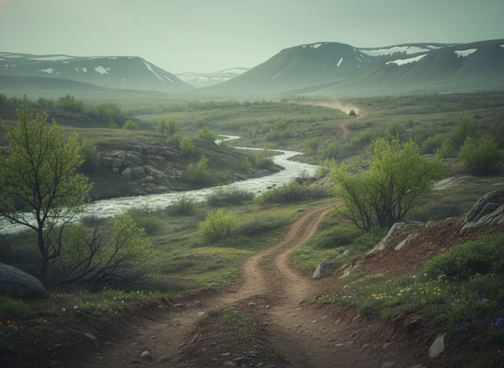
The Dolores River Canyon BLM OHV network encompasses the designated off-highway vehicle routes on Bureau of Land Management land in the canyon country of Montezuma and Dolores counties in southwestern Colorado: the Four Corners region where Colorado grades into the Colorado Plateau canyon landscape of Utah, Arizona, and New Mexico. The Dolores River cuts a deep sandstone canyon through the mesa country west and north of the town of Dolores, and the BLM routes in this area navigate between the canyon rim, the mesa top, and the canyon floor on terrain that is categorically different from the high-alpine and mountain riding that characterizes most Colorado OHV recreation. The canyon landscape is Colorado Plateau character: Navajo and Entrada sandstone canyon walls, pinyon-juniper woodland on the canyon rims, sagebrush and rabbitbrush mesa flats, and the deep red-rock canyon system of the Dolores River itself, a landscape more similar to Moab, Utah than to the mountain OHV parks that dominate most Colorado destination riding. The route network provides access to the Anasazi archaeological sites of the Four Corners region; the Dolores River corridor contains significant Ancestral Puebloan artifacts including pit houses and cliff dwellings that are managed by BLM under cultural resource protection rules. ATVs, UTVs, dirt bikes, and 4x4 trucks are all accommodated on designated routes; riders should carry maps as route signage is less developed than in the high-traffic mountain areas. Colorado OHV registration required. Dispersed camping available under standard 14-night BLM limits. BLM Tres Rios Field Office in Dolores (970-882-7296) manages current route information and canyon access.
Hours
Open year-round on designated BLM routes at lower elevations; higher mesa routes may close under snow. No day-use fee. Colorado OHV registration required.
Phone
970-882-7296Trip openings, seasonal updates, and the occasional deal, straight to your inbox.
FAQ
Everything you need to know before you get started.
Have a question, or ready to book? Reach out and we’ll get right back to you.